Đồng Hới ( listen) is the capital city of Quảng Bình province in the north central coast of Vietnam. The city's area is 155.71 km2 (60.12 sq mi), population as per the 2009 census: 108,526. Urban area is 55.47 km², urban population was 71,620; Suburban area is 100.24 square kilometers, suburban population was 36,906. The city is served by National Highway 1A and the local railway station and airport. By road, Đồng Hới is 486 kilometres (302 mi) south of Hanoi, 195 kilometres (121 mi) south of Vinh, 172 kilometres (107 mi) north of Huế and 1,238 kilometres (769 mi) north of Hồ Chí Minh City. It borders Quảng Ninh District on the west and south, the South China Sea on the east, Bố Trạch District on the north.
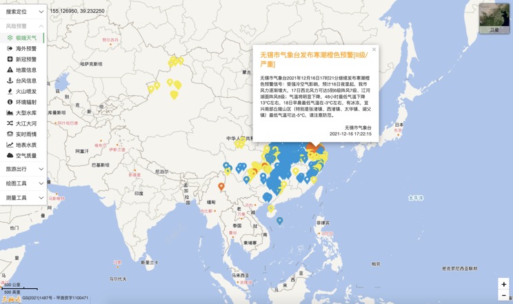
Extreme weather in China
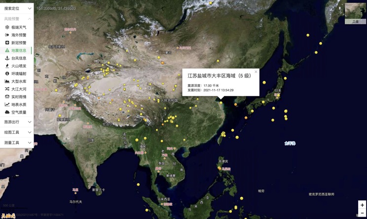
China Earthquake Information
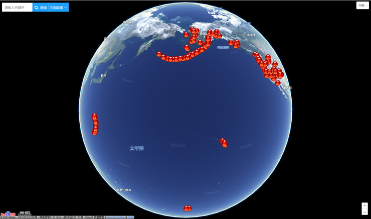
Volcano eruption
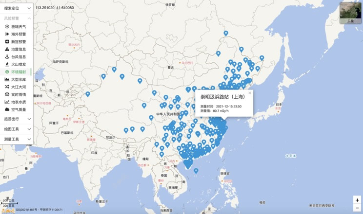
Environmental Radiation in China
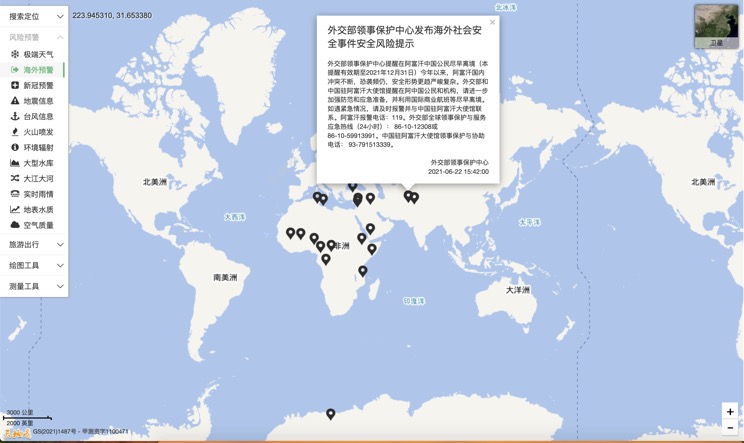
Overseas Warning
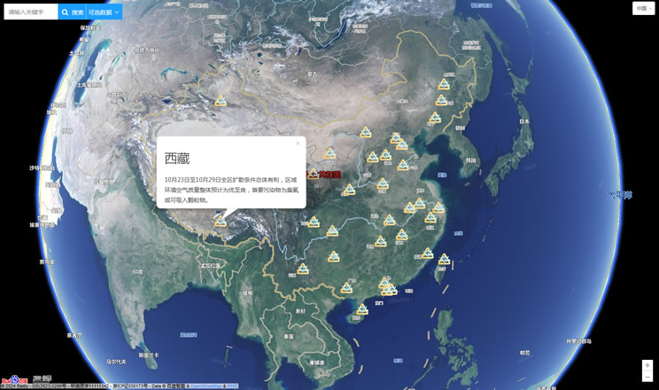
China's air quality
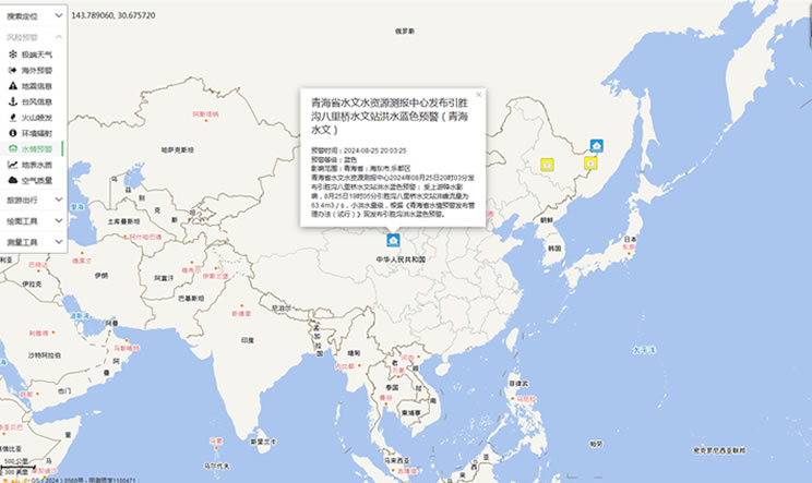
China's Water Disaster Alert
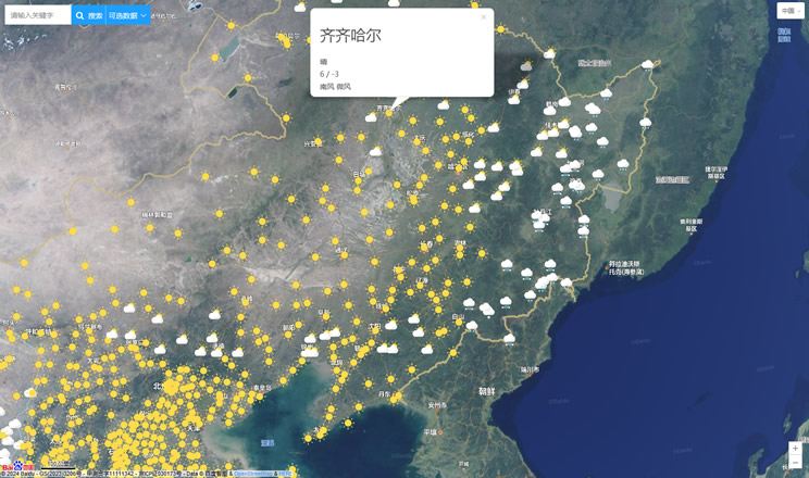
China Weather Forecast
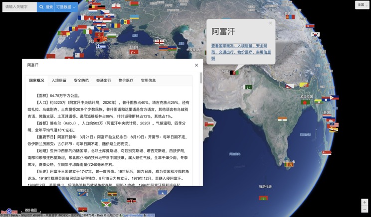
Introduction to Countries
China Subway Lines

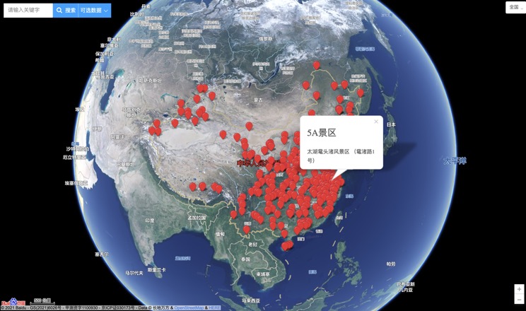
China's 5A Scenic Spots
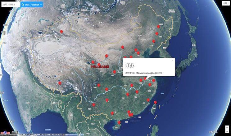
Provincial Capitals in China
